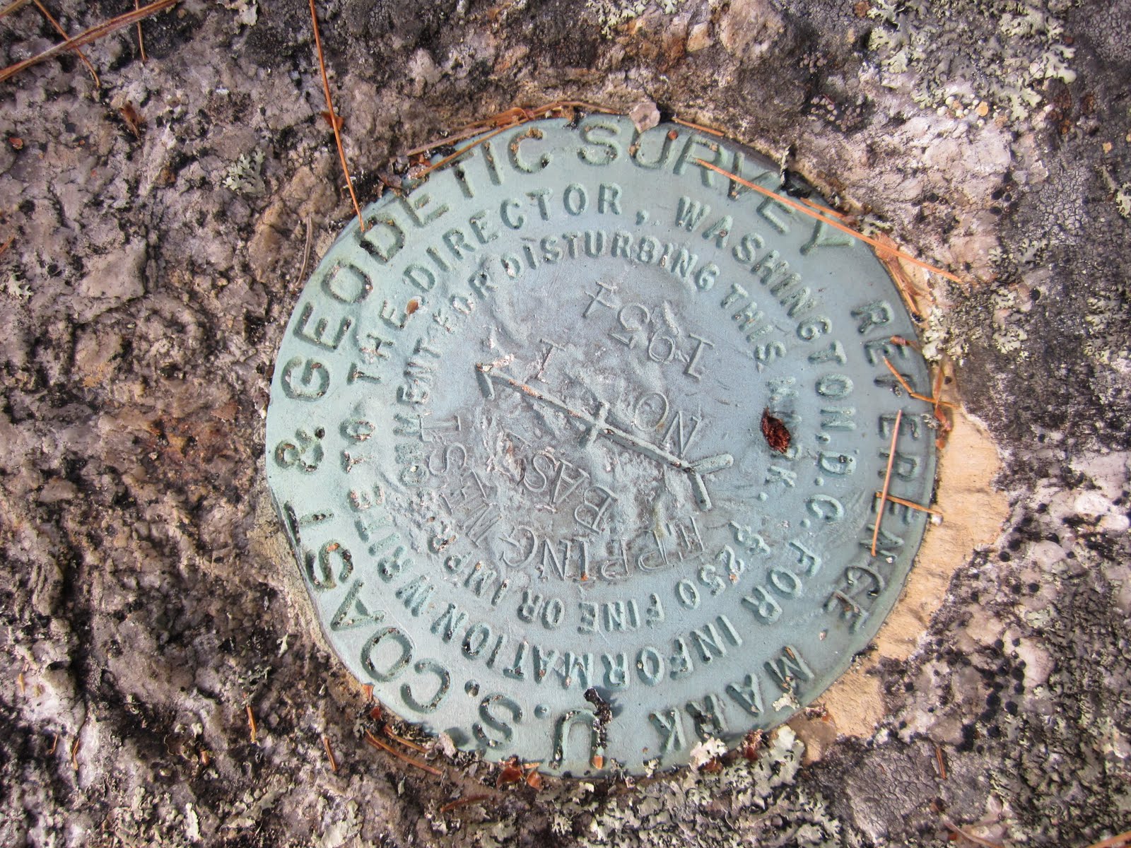
 This marker sits at the eastern end of the Base Line, a 5.4 mile perfectly straight surveyed line finished in 1857 and used for triangulation to map the North Atlantic. It was done by hand (cutting down trees, etc.) without the benefit of GPS and Google Earth but is somehow only off by 2 inches. It's mind boggling, really, but perhaps you have to be there to appreciate it. Next time you're visiting up this way we can walk it, seeing as how it's incredibly scenic (as I pointed out in my last post), and you can see first-hand what I'm talking about. Jefferson Davis stayed in Cherryfield when he came up to inspect the completed project when he was Secretary of War. Who knew that a few short years later he would be the President of the Confederate States. That's how life goes, I suppose--filled with twists and turns we can't even begin to imagine.
Monday, October 24, 2011
This marker sits at the eastern end of the Base Line, a 5.4 mile perfectly straight surveyed line finished in 1857 and used for triangulation to map the North Atlantic. It was done by hand (cutting down trees, etc.) without the benefit of GPS and Google Earth but is somehow only off by 2 inches. It's mind boggling, really, but perhaps you have to be there to appreciate it. Next time you're visiting up this way we can walk it, seeing as how it's incredibly scenic (as I pointed out in my last post), and you can see first-hand what I'm talking about. Jefferson Davis stayed in Cherryfield when he came up to inspect the completed project when he was Secretary of War. Who knew that a few short years later he would be the President of the Confederate States. That's how life goes, I suppose--filled with twists and turns we can't even begin to imagine.
Subscribe to:
Post Comments (Atom)

No comments:
Post a Comment